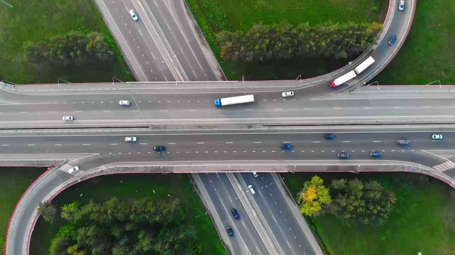
The term interstate implies, with its use of the prefix, “inter,” these roads travel between states. Many do, but the term interstate is a bit of a misnomer. An interstate does not have to carry traffic between states to earn its moniker.
That is why there are interstates, part of the National Highway System, in Alaska, Hawaii and Puerto Rico though these states and unincorporated territory are not connected to any other U.S. state. It also explains why many interstates are only located in a single state, or sometimes, around one municipality. Such examples include I-4, which runs from Tampa to Daytona Beach, Florida, or I-86, a 62-mile route exclusively in Idaho. But these intrastate routes are still interstates.
So, what makes an interstate an interstate?
Effectively it comes down to regulations, no surprise given the ambitiousness of the National Highway System. Namely, the highway in question must meet “interstate” standards, connect to an existing route or be a “logical connection to the Interstate System.” The moniker can also be used for a “congressionally designated future Interstate corridor that eventually will connect on at least one end.”
A congressional approval also permitted the interstate moniker to be used for select Alaska, Hawaii and Puerto Rico highways. There are five interstates in Alaska, four in Hawaii and three in Puerto Rico. A statute within that legislation exempted Alaska and Puerto Rico from “meeting full Interstate standards.”
“Highways on the Interstate System in Alaska and Puerto Rico shall be designed in accordance with such geometric and construction standards as are adequate for current and probable future traffic demands and the needs of the locality of the highway,” the U.S. Code states.

General interstate design standards include “design speeds” of 50-70 mph for car travel. Interstates must have a minimum of two lanes, all at least 12-feet wide, moving in each direction. Also required are a 10-foot paved shoulder to the right of the travel lanes and at least four-foot paved shoulder on the left side of the far left lane. The design of an interstate also had to be “adequate” to meet expected 1975 traffic volumes when the Federal-Aid Highway Act of 1956 was signed into law. That regulation, of course, has since been updated.
Meeting such standards can apply the term interstate to a highway, again, even if it’s a bit of a misnomer if the roadway is only in one state.
The interstate route numbering system also created a grid with uniform signage. Major interstates are given one- or two-digit numbers. North-south interstates carry odd numbers, with the lowest numbers beginning in the west. East-west routes are given even numbers with the lowest numbers in the south.
Interstate exit numbers are either numbered consecutively or with a milepost numbering system within states. In either case, the lowest number will begin at the interstate’s most southerly or westerly point.


